 vesseltracker.com
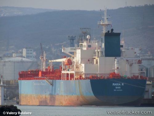
Find the position of the vessel Maria M on the map. The latter are known coordinates and path.
marine traffic ship tracker show on live map
The current position of vessel Maria M is 45.61152 lat / 13.78620 lng. Updated: 2025-10-04 13:46:57 UTCCurrently sailing under the flag of Italy
Maria M built in 2006 year
Deadweight:
40057 tDetails:
Last coordinates of the vessel:
UTC, 45.61153, 13.78625, course: 68, speed: 0UTC, 45.61148, 13.78622, course: 68, speed: 0
UTC, 45.61152, 13.78622, course: 68, speed: 0
2025-10-04 13:46:57 UTC, 45.61152, 13.78620, course: 68, speed: 0