 vesseltracker.com
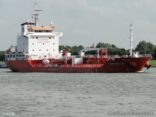
Find the position of the vessel Mary A on the map. The latter are known coordinates and path.
marine traffic ship tracker show on live map
The current position of vessel Mary A is 50.83597 lat / -1.32612 lng. Updated: 2025-10-13 11:36:58 UTCCurrently sailing under the flag of Italy
Mary A built in 2007 year
Deadweight:
8084 tDetails:
Last coordinates of the vessel:
UTC, 50.83598, -1.32613, course: 142, speed: 0UTC, 50.83599, -1.32617, course: 142, speed: 0
UTC, 50.83597, -1.32609, course: 142, speed: 0
2025-10-13 11:36:58 UTC, 50.83597, -1.32612, course: 142, speed: 0