 vesseltracker.com
Live AIS position:
43.34805° N, 7.42708° E UTC. 19 nm SE of Golfe-Juan),
updated 2025-11-20 03:55:35 UTC.
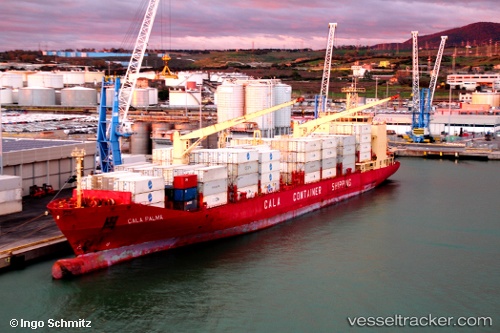
Find the position of the vessel Cala Palma on the map. The latter are known coordinates and path.
marine traffic ship tracker show on live map
The current position of vessel Cala Palma is 43.34805 lat / 7.42708 lng. Updated: 2025-11-20 03:55:35 UTCCurrently sailing under the flag of Italy
Cala Palma built in 2000 year
Deadweight:
16024 tDetails:
Last coordinates of the vessel:
UTC, 44.08723, 8.39487, course: 213, speed: 18.6UTC, 43.88504, 8.19443, course: 226, speed: 18.7
UTC, 43.63558, 7.83764, course: 223, speed: 18.7
2025-11-20 03:55:35 UTC, 43.34805, 7.42708, course: 229, speed: 17.6