 vesseltracker.com
Find the position of the vessel Glyfada I on the map. The latter are known coordinates and path.
marine traffic ship tracker show on live map
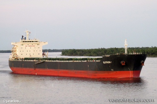
The current position of vessel Glyfada I is 20.79829 lat / 87.84702 lng. Updated: 2025-11-14 14:56:52 UTCCurrently sailing under the flag of Malta
Glyfada I built in 2009 year
Deadweight:
75639 tDetails:
Last coordinates of the vessel:
UTC, 20.27761, 87.75708, course: 12, speed: 10.1UTC, 20.50720, 87.80066, course: 13, speed: 10.3
UTC, 20.63012, 87.82498, course: 12, speed: 10.2
2025-11-14 14:56:52 UTC, 20.79829, 87.84702, course: 356, speed: 10