 vesseltracker.com
Find the position of the vessel Maria G on the map. The latter are known coordinates and path.
marine traffic ship tracker show on live map
The current position of vessel Maria G is 41.18952 lat / -8.68991 lng. Updated: 2025-11-12 07:23:12 UTCCurrently sailing under the flag of Malta
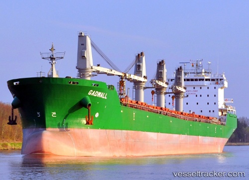
Maria G built in 2007 year
Deadweight:
37249 tDetails:
Last coordinates of the vessel:
UTC, 41.18953, -8.68992, course: 270, speed: 0UTC, 41.18952, -8.68992, course: 270, speed: 0
UTC, 41.18953, -8.68991, course: 270, speed: 0
2025-11-12 07:23:12 UTC, 41.18952, -8.68991, course: 270, speed: 0