 vesseltracker.com
Live AIS position:
40.74969° N, 29.83484° E UTC. Near Derince),
updated 2025-11-20 15:27:17 UTC.
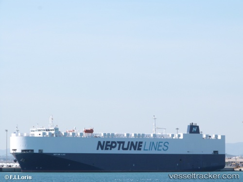
Find the position of the vessel Neptune Iliad on the map. The latter are known coordinates and path.
marine traffic ship tracker show on live map
The current position of vessel Neptune Iliad is 40.74969 lat / 29.83484 lng. Updated: 2025-11-20 15:27:17 UTCCurrently sailing under the flag of Malta
Neptune Iliad built in 2010 year
Deadweight:
11409 tDetails:
Last coordinates of the vessel:
UTC, 40.74969, 29.83483, course: 229, speed: 0UTC, 40.74965, 29.83484, course: 229, speed: 0
UTC, 40.74971, 29.83487, course: 229, speed: 0
2025-11-20 15:27:17 UTC, 40.74969, 29.83484, course: 229, speed: 0