 vesseltracker.com
Find the position of the vessel Saga on the map. The latter are known coordinates and path.
marine traffic ship tracker show on live map
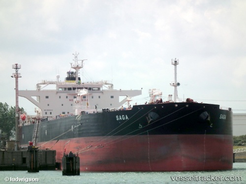
The current position of vessel Saga is 54.45134 lat / 18.88955 lng. Updated: 2025-11-11 15:40:40 UTCCurrently sailing under the flag of Malta
Saga built in 2010 year
Deadweight:
115738 tDetails:
Last coordinates of the vessel:
UTC, 54.45250, 18.88751, course: 202, speed: 0UTC, 54.45251, 18.88710, course: 191, speed: 0.1
UTC, 54.45147, 18.88936, course: 246, speed: 0
2025-11-11 15:40:40 UTC, 54.45134, 18.88955, course: 248, speed: 0