 vesseltracker.com
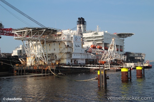
Find the position of the vessel Tog Mor on the map. The latter are known coordinates and path.
marine traffic ship tracker show on live map
The current position of vessel Tog Mor is 51.89230 lat / 4.41233 lng. Updated: 2025-10-20 09:38:29 UTCCurrently sailing under the flag of Malta
Tog Mor built in 1976 year
Deadweight:
20627 tDetails:
Last coordinates of the vessel:
UTC, 51.89232, 4.41230, course: 108, speed: 0UTC, 51.89232, 4.41233, course: 109, speed: 0
UTC, 51.89231, 4.41231, course: 108, speed: 0
2025-10-20 09:38:29 UTC, 51.89230, 4.41233, course: 108, speed: 0