 vesseltracker.com
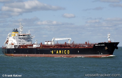
Live AIS position:
53.55522° N, 8.17027° E UTC. Near Wilhelmshaven),
updated 2025-11-24 07:23:41 UTC.
Find the position of the vessel Cielo Di Capri on the map. The latter are known coordinates and path.
marine traffic ship tracker show on live map
The current position of vessel Cielo Di Capri is 53.55522 lat / 8.17027 lng. Updated: 2025-11-24 07:23:41 UTCCurrently sailing under the flag of Malta
Details:
Last coordinates of the vessel:
UTC, 53.55523, 8.17024, course: 160, speed: 0UTC, 53.55521, 8.17027, course: 160, speed: 0
UTC, 53.55521, 8.17027, course: 160, speed: 0
2025-11-24 07:23:41 UTC, 53.55522, 8.17027, course: 159, speed: 0