 vesseltracker.com
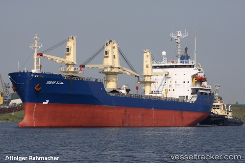
Vessel Seref Kuru IMO: 8606111, MMSI: 249478000 General Cargo Ship
Live AIS position:
UTC. Near IZOLA),
updated 2026-01-02 07:48:23 UTC.
Find the position of the vessel Seref Kuru on the map. The latter are known coordinates and path.
marine traffic ship tracker show on live map
The current position of vessel Seref Kuru is 45.53559 lat / 13.65356 lng. Updated: 2026-01-02 07:48:23 UTCCurrently sailing under the flag of Malta
Seref Kuru built in 1987 year
Deadweight:
13047 tDetails:
Last coordinates of the vessel:
2026-01-02 07:48:23 UTC, 45.53559, 13.65356, course: -1, speed: 0