 vesseltracker.com
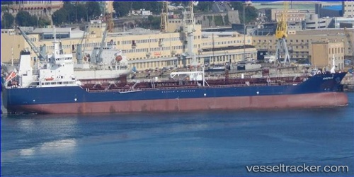
Find the position of the vessel Greta K on the map. The latter are known coordinates and path.
marine traffic ship tracker show on live map
The current position of vessel Greta K is 34.32216 lat / 34.07764 lng. Updated: 2025-10-20 08:27:10 UTCCurrently sailing under the flag of Malta
Details:
Last coordinates of the vessel:
UTC, 34.29939, 34.00895, course: 187, speed: 0.8UTC, 34.30732, 34.03596, course: 182, speed: 1
UTC, 34.31926, 34.07098, course: 179, speed: 0.8
2025-10-20 08:27:10 UTC, 34.32216, 34.07764, course: 179, speed: 0.8