 vesseltracker.com
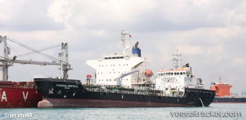
Vessel HERCULES 400 IMO: 9644952, MMSI: 255707000 Bunkering Tanker
UTC, 28.13664, -15.41834, course: 181, speed: 5.3
UTC, 28.14253, -15.41465, course: 132, speed: 0
2026-01-17 15:27:12 UTC, 28.14257, -15.41467, course: 132, speed: 0
Live AIS position:
UTC. Near Las Palmas),
updated 2026-01-17 15:27:12 UTC.
Find the position of the vessel HERCULES 400 on the map. The latter are known coordinates and path.
marine traffic ship tracker show on live map
The current position of vessel HERCULES 400 is 28.14257 lat / -15.41467 lng. Updated: 2026-01-17 15:27:12 UTCCurrently sailing under the flag of Portugal (MAR)
HERCULES 400 built in 2014 year
Deadweight:
5506 tDetails:
Last coordinates of the vessel:
UTC, 28.14305, -15.41751, course: 182, speed: 0UTC, 28.13664, -15.41834, course: 181, speed: 5.3
UTC, 28.14253, -15.41465, course: 132, speed: 0
2026-01-17 15:27:12 UTC, 28.14257, -15.41467, course: 132, speed: 0