 vesseltracker.com
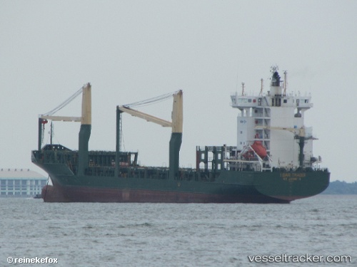
Find the position of the vessel Msc Talia F on the map. The latter are known coordinates and path.
marine traffic ship tracker show on live map
The current position of vessel Msc Talia F is 36.76014 lat / 15.56305 lng. Updated: 2025-11-12 05:55:04 UTCCurrently sailing under the flag of Portugal
Msc Talia F built in 2005 year
Deadweight:
11815 tDetails:
Last coordinates of the vessel:
UTC, 36.41127, 15.23534, course: 36, speed: 9.4UTC, 36.50610, 15.31901, course: 40, speed: 9.3
UTC, 36.60229, 15.41511, course: 38, speed: 9.4
2025-11-12 05:55:04 UTC, 36.76014, 15.56305, course: 38, speed: 9.3