 vesseltracker.com
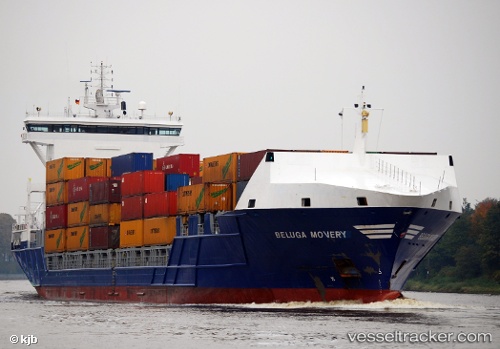
Find the position of the vessel Lola B on the map. The latter are known coordinates and path.
marine traffic ship tracker show on live map
The current position of vessel Lola B is 41.3374 lat / 2.14981 lng. Updated: 2025-09-11 19:05:36 UTCCurrently sailing under the flag of Portugal
Lola B built in 2007 year
Deadweight:
10750 tDetails:
Last coordinates of the vessel:
UTC, 41.3375, 2.14978, course: 4, speed: 0UTC, 41.3374, 2.14981, course: 4, speed: 0
UTC, 41.3374, 2.14981, course: 4, speed: 0
2025-09-11 19:05:36 UTC, 41.3374, 2.14981, course: 4, speed: 0