 vesseltracker.com
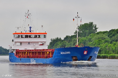
Find the position of the vessel 255806447 on the map. The latter are known coordinates and path.
marine traffic ship tracker show on live map
The current position of vessel 255806447 is 49.9939 lat / -1.75027 lng. Updated: 2025-09-05 16:42:43 UTCDetails:
Last coordinates of the vessel:
UTC, 49.8904, -2.32991, course: 75, speed: 7.7UTC, 49.9228, -2.14879, course: 74, speed: 6.1
UTC, 49.9264, -2.13128, course: 75, speed: 6.2
2025-09-05 16:42:43 UTC, 49.9939, -1.75027, course: 75, speed: 8.9