 vesseltracker.com
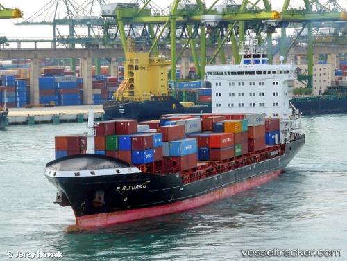
Find the position of the vessel AMINA on the map. The latter are known coordinates and path.
marine traffic ship tracker show on live map
The current position of vessel AMINA is 56.04828 lat / 12.64747 lng. Updated: 2025-10-27 14:25:12 UTCCurrently sailing under the flag of Portugal
AMINA built in 2011 year
Deadweight:
14292 tDetails:
Last coordinates of the vessel:
UTC, 56.20409, 12.16230, course: 70, speed: 8.2UTC, 56.18871, 12.31024, course: 105, speed: 8.5
UTC, 56.14484, 12.44610, course: 127, speed: 12.3
2025-10-27 14:25:12 UTC, 56.04828, 12.64747, course: 155, speed: 5.1