 vesseltracker.com
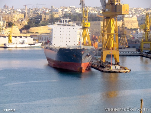
Find the position of the vessel EMMA A on the map. The latter are known coordinates and path.
marine traffic ship tracker show on live map
The current position of vessel EMMA A is 40.944965 lat / 28.621256666667 lng. Updated: 2025-09-13 04:20:41 UTCCurrently sailing under the flag of Malta
EMMA A built in 2007 year
Deadweight:
38547 tDetails:
Last coordinates of the vessel:
UTC, 40.944916666667, 28.621256666667, course: 76, speed: 0UTC, 40.944915, 28.621268333333, course: 77, speed: 0
UTC, 40.944926666667, 28.62121, course: 76, speed: 0
2025-09-13 04:20:41 UTC, 40.944965, 28.621256666667, course: 78, speed: 0