 vesseltracker.com
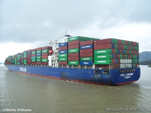
Find the position of the vessel CMA CGM MANTA RAY on the map. The latter are known coordinates and path.
marine traffic ship tracker show on live map
The current position of vessel CMA CGM MANTA RAY is 35.01942 lat / 129.06738 lng. Updated: 2025-11-10 16:58:08 UTCCurrently sailing under the flag of Malta
CMA CGM MANTA RAY built in 2007 year
Deadweight:
68008 tDetails:
Last coordinates of the vessel:
UTC, 35.01844, 129.06769, course: 277, speed: 0.1UTC, 35.01844, 129.06769, course: 277, speed: 0.1
UTC, 35.01942, 129.06738, course: 247, speed: 0.2
2025-11-10 16:58:08 UTC, 35.01942, 129.06738, course: 247, speed: 0.2