 vesseltracker.com
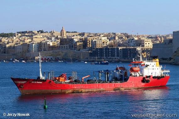
Find the position of the vessel Santa Maria on the map. The latter are known coordinates and path.
marine traffic ship tracker show on live map
The current position of vessel Santa Maria is 35.88502 lat / 14.49817 lng. Updated: 2025-11-16 02:15:30 UTCCurrently sailing under the flag of Malta
Santa Maria built in 1977 year
Deadweight:
4501 tDetails:
Last coordinates of the vessel:
UTC, 35.88499, 14.49817, course: 103, speed: 0UTC, 35.88501, 14.49819, course: 103, speed: 0
UTC, 35.88500, 14.49816, course: 103, speed: 0
2025-11-16 02:15:30 UTC, 35.88502, 14.49817, course: 102, speed: 0