vessel Mf Kalkoy IMO: 7023104, Passenger Ro Ro Cargo Ship
Vessel Mf Kalkoy IMO: 7023104, Passenger Ro Ro Cargo Ship
MMSI: 257018700 callsign: LMHD size: 47x10

Find the position of the vessel Mf Kalkoy on the map. The latter are known coordinates and path.

marine traffic ship tracker show on live map

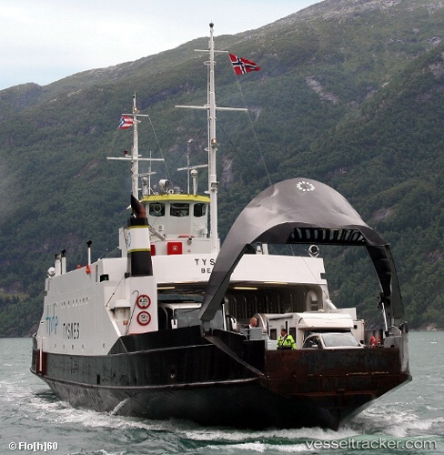
The current position of vessel Mf Kalkoy is 60.0083 lat / 5.26227 lng. Updated: 2025-02-22 15:42:05 UTC

Currently sailing under the flag of Norway

Mf Kalkoy built in 1970 year

Gross tonnage:
534
Service entry:
1970-01-01T00:00:00Z

Manufacturer:
Haugesunds Slip

Owned:
Tide (Norwegian public transport company)

Details:


Last coordinates of the vessel:
UTC, 60.0083, 5.26227, course: -1, speed: 0
2025-02-22 15:42:05 UTC, 60.0083, 5.26227, course: -1, speed: 0


Most frequent ports a vessels calls at Mf Kalkoy (257018700):

Alesund, traffic: 5
Kristiansund, traffic: 2
STOREBO, traffic: 1
SANDVIKVAAG, traffic: 1

Link to the map:


Find another ship

Mf_Kalkoy (257018700) last ports (portcalls and passsages)

STOREBO | 2025-02-22 10:49:58
Alesund | 2023-04-19 15:01:00
Alesund | 2023-04-01 19:19:26
Alesund | 2022-12-10 11:56:13
Alesund | 2022-11-29 11:43:22
Alesund | 2021-12-13 16:41:02
Kristiansund | 2021-12-13 06:41:29