 vesseltracker.com
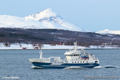
Find the position of the vessel Kamilla G on the map. The latter are known coordinates and path.
marine traffic ship tracker show on live map
The current position of vessel Kamilla G is 70.98213 lat / 25.96667 lng. Updated: 2025-10-27 00:20:52 UTCCurrently sailing under the flag of Norway
Kamilla G built in 2006 year
Details:
Last coordinates of the vessel:
UTC, 70.98213, 25.96664, course: 263, speed: 0.1UTC, 70.98215, 25.96665, course: 264, speed: 0.1
UTC, 70.98213, 25.96668, course: 263, speed: 0
2025-10-27 00:20:52 UTC, 70.98213, 25.96667, course: 263, speed: 0