 vesseltracker.com
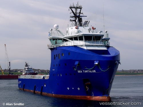
Find the position of the vessel NORMAND TANTALUS on the map. The latter are known coordinates and path.
marine traffic ship tracker show on live map
The current position of vessel NORMAND TANTALUS is -22.86266 lat / -43.16611 lng. Updated: 2025-11-12 12:24:17 UTCCurrently sailing under the flag of Norway (NIS)
NORMAND TANTALUS built in 2013 year
Deadweight:
4000 tDetails:
Last coordinates of the vessel:
UTC, -22.86275, -43.16600, course: 0, speed: 0UTC, -22.86279, -43.16603, course: 13, speed: 0
UTC, -22.86281, -43.16595, course: 1, speed: 0
2025-11-12 12:24:17 UTC, -22.86266, -43.16611, course: 50, speed: 0