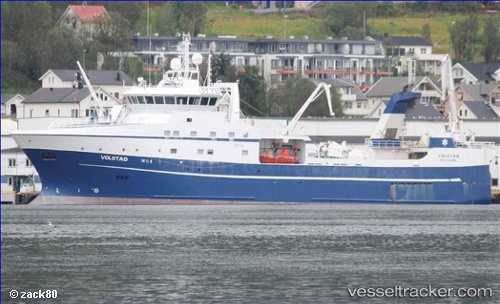
 vesseltracker.com
Live AIS position:
62.49339° N, 5.76272° E UTC. Near Runde),
updated 2025-11-19 21:26:22 UTC.
Find the position of the vessel Volstad on the map. The latter are known coordinates and path.
marine traffic ship tracker show on live map
The current position of vessel Volstad is 62.49339 lat / 5.76272 lng. Updated: 2025-11-19 21:26:22 UTCCurrently sailing under the flag of Norway
Volstad built in 2013 year
Deadweight:
1500 tDetails:
Last coordinates of the vessel:
UTC, 62.48242, 6.18901, course: 87, speed: 0UTC, 62.48244, 6.18900, course: 86, speed: 0
UTC, 62.45476, 5.96060, course: 265, speed: 12.7
2025-11-19 21:26:22 UTC, 62.49339, 5.76272, course: 297, speed: 12.4