 vesseltracker.com
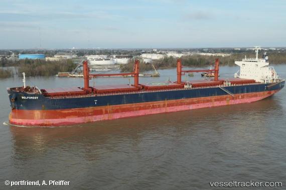
Find the position of the vessel BELFOREST on the map. The latter are known coordinates and path.
marine traffic ship tracker show on live map
The current position of vessel BELFOREST is 54.34203 lat / -130.28825 lng. Updated: 2025-11-13 04:54:55 UTCCurrently sailing under the flag of Norway (NIS)
BELFOREST built in 2015 year
Deadweight:
61252 tDetails:
Last coordinates of the vessel:
UTC, 54.34055, -130.28746, course: 41, speed: 0UTC, 54.34090, -130.28821, course: 59, speed: 0
UTC, 54.34090, -130.28812, course: 61, speed: 0
2025-11-13 04:54:55 UTC, 54.34203, -130.28825, course: 86, speed: 0
The ship also appears on the maps: