 vesseltracker.com
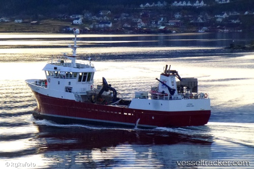
Live AIS position:
63.45182° N, 8.84008° E UTC. Near Tjeldbergodden),
updated 2025-11-23 18:54:28 UTC.
Find the position of the vessel Viking Saga on the map. The latter are known coordinates and path.
marine traffic ship tracker show on live map
The current position of vessel Viking Saga is 63.45182 lat / 8.84008 lng. Updated: 2025-11-23 18:54:28 UTCDetails:
Last coordinates of the vessel:
UTC, 63.16900, 7.75896, course: 57, speed: 10.6UTC, 63.23987, 8.02399, course: 58, speed: 10.7
UTC, 63.36694, 8.41383, course: 52, speed: 10
2025-11-23 18:54:28 UTC, 63.45182, 8.84008, course: 67, speed: 10.3