 vesseltracker.com
Live AIS position:
65.76917° N, 23.36690° E UTC. Near Karlsborg Axelvik),
updated 2025-11-21 01:09:28 UTC.
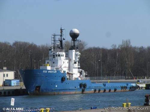
Find the position of the vessel Polar Explorer on the map. The latter are known coordinates and path.
marine traffic ship tracker show on live map
The current position of vessel Polar Explorer is 65.76917 lat / 23.36690 lng. Updated: 2025-11-21 01:09:28 UTCDetails:
Last coordinates of the vessel:
UTC, 65.76916, 23.36688, course: 158, speed: 0UTC, 65.76916, 23.36689, course: 158, speed: 0
UTC, 65.76914, 23.36692, course: 158, speed: 0
2025-11-21 01:09:28 UTC, 65.76917, 23.36690, course: 158, speed: 0