 vesseltracker.com
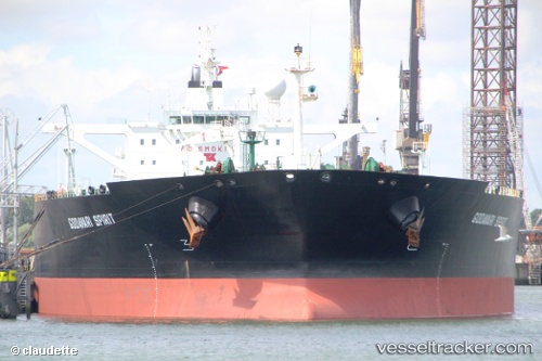
Find the position of the vessel RIEVERIA I on the map. The latter are known coordinates and path.
marine traffic ship tracker show on live map
The current position of vessel RIEVERIA I is 39.5964 lat / 121.275 lng. Updated: 2025-06-18 02:42:14 UTCCurrently sailing under the flag of San Marino
RIEVERIA I built in 2004 year
Deadweight:
159106 tPayload_mass:
159106 tonneGross tonnage:
81074Service entry:
2004-01-01T00:00:00ZManufacturer:
HD Hyundai Mipo (South Korean shipbuilding company)Details:
Last coordinates of the vessel:
UTC, 39.5964, 121.275, course: 60, speed: 0.1UTC, 39.5964, 121.275, course: 60, speed: 0.1
UTC, 39.5964, 121.275, course: 60, speed: 0
2025-06-18 02:42:14 UTC, 39.5964, 121.275, course: 60, speed: 0
The ship also appears on the maps: