 vesseltracker.com
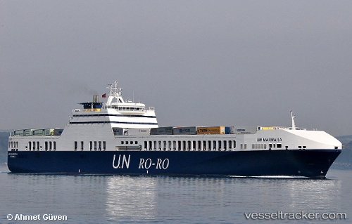
Find the position of the vessel Un Marmara on the map. The latter are known coordinates and path.
marine traffic ship tracker show on live map
The current position of vessel Un Marmara is 37.92792 lat / 24.63915 lng. Updated: 2025-11-05 12:26:55 UTCCurrently sailing under the flag of Turkey
Un Marmara built in 2005 year
Deadweight:
9481 tDetails:
Last coordinates of the vessel:
UTC, 37.36801, 24.23438, course: 39, speed: 17.3UTC, 37.46703, 24.33410, course: 39, speed: 17.4
UTC, 37.75209, 24.55135, course: 21, speed: 17.1
2025-11-05 12:26:55 UTC, 37.92792, 24.63915, course: 22, speed: 17.5