 vesseltracker.com
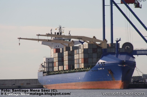
Find the position of the vessel Claire A on the map. The latter are known coordinates and path.
marine traffic ship tracker show on live map
The current position of vessel Claire A is 42.15191 lat / 41.65211 lng. Updated: 2025-10-28 05:35:12 UTCCurrently sailing under the flag of Turkey
Claire A built in 2008 year
Deadweight:
22028 tDetails:
Last coordinates of the vessel:
UTC, 42.15191, 41.65210, course: 94, speed: 0UTC, 42.15192, 41.65211, course: 93, speed: 0
UTC, 42.15190, 41.65210, course: 94, speed: 0
2025-10-28 05:35:12 UTC, 42.15191, 41.65211, course: 93, speed: 0