 vesseltracker.com
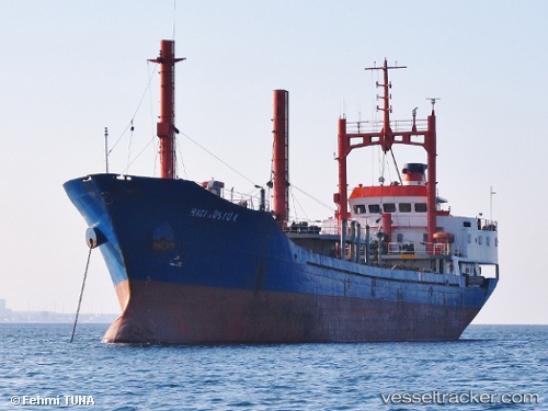
Find the position of the vessel Haci Rustu K on the map. The latter are known coordinates and path.
marine traffic ship tracker show on live map
The current position of vessel Haci Rustu K is 40.6693 lat / 27.6653 lng. Updated: 2025-07-13 04:16:45 UTCCurrently sailing under the flag of Turkey
Haci Rustu K built in 1987 year
Deadweight:
2970 tDetails:
Last coordinates of the vessel:
UTC, 40.6699, 27.6646, course: 82, speed: 0.2UTC, 40.6696, 27.6649, course: 52, speed: 0.1
UTC, 40.6695, 27.6649, course: 62, speed: 0
2025-07-13 04:16:45 UTC, 40.6693, 27.6653, course: 42, speed: 0.2