 vesseltracker.com
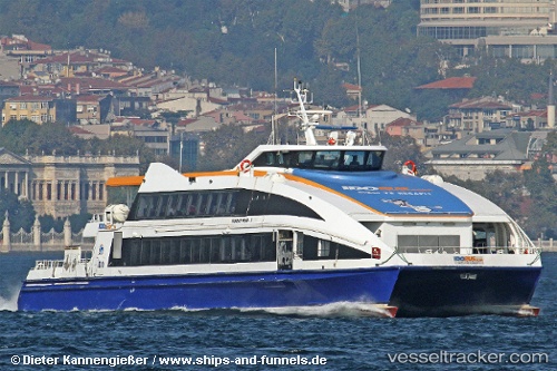
Find the position of the vessel Murat Reis 7 on the map. The latter are known coordinates and path.
marine traffic ship tracker show on live map
The current position of vessel Murat Reis 7 is 40.91109 lat / 28.83598 lng. Updated: 2025-10-10 09:24:44 UTCCurrently sailing under the flag of Turkey
Murat Reis 7 built in 2007 year
Deadweight:
50 tDetails:
Last coordinates of the vessel:
UTC, 40.93167, 28.88747, course: -1, speed: 24.7UTC, 40.99674, 28.98173, course: -1, speed: 25.1
UTC, 40.93589, 28.88094, course: -1, speed: 25.1
2025-10-10 09:24:44 UTC, 40.91109, 28.83598, course: -1, speed: 25.2