 vesseltracker.com
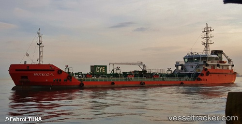
Find the position of the vessel Beykoz e on the map. The latter are known coordinates and path.
marine traffic ship tracker show on live map
The current position of vessel Beykoz e is 40.99198 lat / 28.94828 lng. Updated: 2025-10-10 10:34:51 UTCCurrently sailing under the flag of Turkey
Details:
Last coordinates of the vessel:
UTC, 40.99173, 28.94678, course: -1, speed: 0.1UTC, 40.99207, 28.94812, course: -1, speed: 0.2
UTC, 40.99207, 28.94812, course: -1, speed: 0.2
2025-10-10 10:34:51 UTC, 40.99198, 28.94828, course: -1, speed: 0.3