 vesseltracker.com
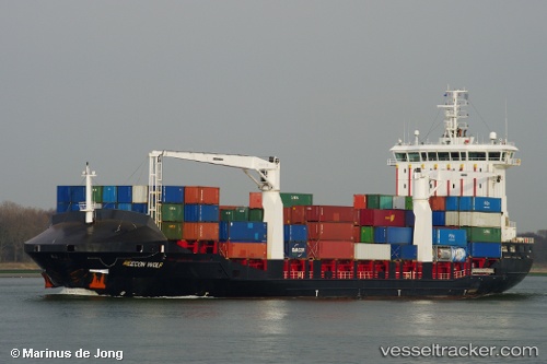
Find the position of the vessel DIONYSSIS A on the map. The latter are known coordinates and path.
marine traffic ship tracker show on live map
The current position of vessel DIONYSSIS A is 34.72628 lat / 10.77095 lng. Updated: 2025-10-24 12:24:34 UTCCurrently sailing under the flag of Turkey
DIONYSSIS A built in 2008 year
Deadweight:
12296 tDetails:
Last coordinates of the vessel:
UTC, 34.72629, 10.77096, course: 316, speed: 0UTC, 34.72629, 10.77096, course: 316, speed: 0
UTC, 34.72631, 10.77097, course: 315, speed: 0
2025-10-24 12:24:34 UTC, 34.72628, 10.77095, course: 316, speed: 0