 vesseltracker.com
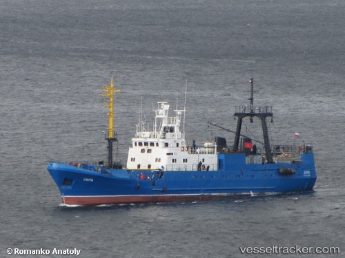
Live AIS position:
68.94776° N, 33.02916° E UTC. Near Murmansk),
updated 2025-11-19 17:15:53 UTC.
Find the position of the vessel Santa on the map. The latter are known coordinates and path.
marine traffic ship tracker show on live map
The current position of vessel Santa is 68.94776 lat / 33.02916 lng. Updated: 2025-11-19 17:15:53 UTCDetails:
Last coordinates of the vessel:
UTC, 68.94777, 33.02909, course: -1, speed: 0UTC, 68.94769, 33.02913, course: -1, speed: 0
UTC, 68.94775, 33.02914, course: -1, speed: 0
2025-11-19 17:15:53 UTC, 68.94776, 33.02916, course: -1, speed: 0