 vesseltracker.com
Live AIS position:
41.33550° N, 36.37227° E UTC. Near Samsun),
updated 2025-11-20 22:59:04 UTC.
Find the position of the vessel SV. NIKOLAY on the map. The latter are known coordinates and path.
marine traffic ship tracker show on live map
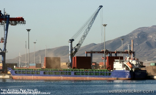
The current position of vessel SV. NIKOLAY is 41.33550 lat / 36.37227 lng. Updated: 2025-11-20 22:59:04 UTCCurrently sailing under the flag of Russia
SV. NIKOLAY built in 2009 year
Deadweight:
7152 tDetails:
Last coordinates of the vessel:
UTC, 41.33548, 36.37147, course: 166, speed: 0.1UTC, 41.33536, 36.37239, course: 204, speed: 0
UTC, 41.33534, 36.37252, course: 209, speed: 0.1
2025-11-20 22:59:04 UTC, 41.33550, 36.37227, course: 196, speed: 0