 vesseltracker.com
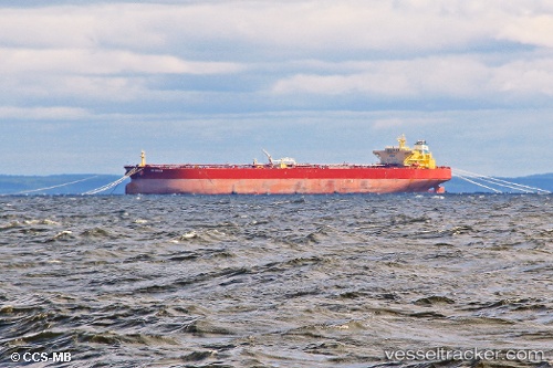
Live AIS position:
22.26333° N, 38.08833° E UTC. 56 nm W of King Abdullah City),
updated 2025-11-22 05:01:12 UTC.
Find the position of the vessel BELGOROD on the map. The latter are known coordinates and path.
marine traffic ship tracker show on live map
The current position of vessel BELGOROD is 22.26333 lat / 38.08833 lng. Updated: 2025-11-22 05:01:12 UTCCurrently sailing under the flag of Russia
BELGOROD built in 0 year
Deadweight:
0 tDetails:
Last coordinates of the vessel:
UTC, 21.71269, 38.51988, course: 324, speed: 13.5UTC, 21.98954, 38.31274, course: 321, speed: 13.4
UTC, 22.17086, 38.16741, course: 323, speed: 13.6
2025-11-22 05:01:12 UTC, 22.26333, 38.08833, course: -1, speed: 4
The ship also appears on the maps: