 vesseltracker.com
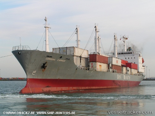
Vessel Ice River IMO: 9078452, MMSI: 273290510 Vehicles Carrier
UTC, 48.95584, 151.74290, course: 231, speed: 14.7
UTC, 48.92167, 151.67166, course: -1, speed: 14
2026-01-17 13:59:37 UTC, 48.91333, 151.65668, course: -1, speed: 14
Live AIS position:
UTC. 84 nm NW of Matua island),
updated 2026-01-17 13:59:37 UTC.
Find the position of the vessel Ice River on the map. The latter are known coordinates and path.
marine traffic ship tracker show on live map
The current position of vessel Ice River is 48.91333 lat / 151.65668 lng. Updated: 2026-01-17 13:59:37 UTCCurrently sailing under the flag of Russia
Details:
Last coordinates of the vessel:
UTC, 49.03833, 151.91499, course: -1, speed: 14UTC, 48.95584, 151.74290, course: 231, speed: 14.7
UTC, 48.92167, 151.67166, course: -1, speed: 14
2026-01-17 13:59:37 UTC, 48.91333, 151.65668, course: -1, speed: 14