 vesseltracker.com
Find the position of the vessel ENISEY on the map. The latter are known coordinates and path.
marine traffic ship tracker show on live map
The current position of vessel ENISEY is 42.36113 lat / 130.98790 lng. Updated: 2025-11-13 05:49:55 UTCCurrently sailing under the flag of Russia
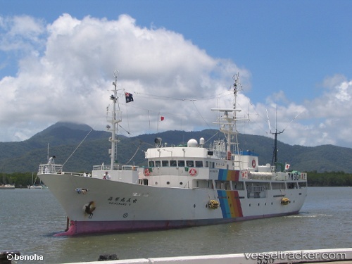
ENISEY built in 2002 year
Deadweight:
0 tDetails:
Last coordinates of the vessel:
UTC, 42.31915, 130.99876, course: 312, speed: 5.7UTC, 42.36113, 130.98790, course: 345, speed: 1.1
UTC, 42.36113, 130.98790, course: 345, speed: 1.1
2025-11-13 05:49:55 UTC, 42.36113, 130.98790, course: 345, speed: 1.1
The ship also appears on the maps: