 vesseltracker.com
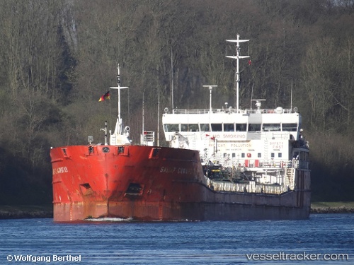
Live AIS position:
41.26277° N, 36.40858° E UTC. Near Samsun),
updated 2025-11-21 13:29:50 UTC.
Find the position of the vessel Bashir Safaroglu on the map. The latter are known coordinates and path.
marine traffic ship tracker show on live map
The current position of vessel Bashir Safaroglu is 41.26277 lat / 36.40858 lng. Updated: 2025-11-21 13:29:50 UTCDetails:
Last coordinates of the vessel:
UTC, 41.26275, 36.40860, course: 354, speed: 0UTC, 41.26277, 36.40859, course: 354, speed: 0
UTC, 41.26278, 36.40857, course: 354, speed: 0
2025-11-21 13:29:50 UTC, 41.26277, 36.40858, course: 354, speed: 0
The ship also appears on the maps: