 vesseltracker.com
Find the position of the vessel PROLIV LONGA on the map. The latter are known coordinates and path.
marine traffic ship tracker show on live map
The current position of vessel PROLIV LONGA is 43.10190 lat / 131.88422 lng. Updated: 2025-10-21 23:18:54 UTCCurrently sailing under the flag of Russia
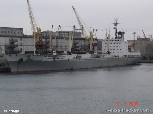
PROLIV LONGA built in 1983 year
Deadweight:
11560 tDetails:
Last coordinates of the vessel:
UTC, 43.10189, 131.88422, course: 236, speed: 0UTC, 43.10189, 131.88422, course: 236, speed: 0
UTC, 43.10188, 131.88422, course: 236, speed: 0.1
2025-10-21 23:18:54 UTC, 43.10190, 131.88422, course: 236, speed: 0.1
The ship also appears on the maps: