 vesseltracker.com
Find the position of the vessel TIKSY on the map. The latter are known coordinates and path.
marine traffic ship tracker show on live map
The current position of vessel TIKSY is 64.61500 lat / 40.48833 lng. Updated: 2025-11-19 01:59:13 UTCCurrently sailing under the flag of Russia
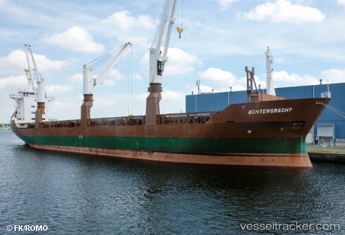
TIKSY built in 1990 year
Deadweight:
12239 tDetails:
Last coordinates of the vessel:
UTC, 64.61500, 40.48833, course: -1, speed: 0UTC, 64.61500, 40.48833, course: -1, speed: 0
UTC, 64.61500, 40.48833, course: -1, speed: 0
2025-11-19 01:59:13 UTC, 64.61500, 40.48833, course: -1, speed: 0
The ship also appears on the maps:
- Карта СМП Певек-Билибино
- Northern Sea Route. General Cargo Ships & Russian icebreakers
- Pev 2022 (08)
- Певек 2.0
- Autumn2022
- СМП-2023
- Суда на потоке СМП
- СМП ССК
- NSR
- ТК Северный проект
- ЗАПСИБ
- Дисп АО ОЭК
- Дисп бухта Север АО ОЭК
- ДИСП бухта Север АО ОЭК 1
- ASCO2024
- караван на запад
- Бухта Север - СМП(апрель2025)
- Бухта Север - СМП(апрель2025)
- asas02025
- СМП