 vesseltracker.com
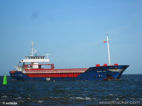
Find the position of the vessel Friendland on the map. The latter are known coordinates and path.
marine traffic ship tracker show on live map
The current position of vessel Friendland is 59.70797 lat / 23.37882 lng. Updated: 2025-10-15 18:33:25 UTCCurrently sailing under the flag of Latvia
Details:
Last coordinates of the vessel:
UTC, 59.91763, 22.55085, course: 78, speed: 10.5UTC, 59.86326, 22.85170, course: 121, speed: 10.8
UTC, 59.76250, 23.01533, course: 145, speed: 10.7
2025-10-15 18:33:25 UTC, 59.70797, 23.37882, course: 84, speed: 11