 vesseltracker.com
Find the position of the vessel Amiko on the map. The latter are known coordinates and path.
marine traffic ship tracker show on live map
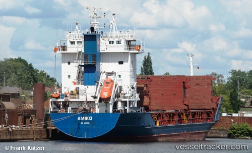
The current position of vessel Amiko is 41.19077 lat / -8.69168 lng. Updated: 2025-10-09 08:52:19 UTCCurrently sailing under the flag of Lithuania
Amiko built in 1996 year
Deadweight:
4766 tDetails:
Last coordinates of the vessel:
UTC, 41.19078, -8.69168, course: 56, speed: 0UTC, 41.19077, -8.69172, course: 50, speed: 0
UTC, 41.19078, -8.69170, course: 51, speed: 0
2025-10-09 08:52:19 UTC, 41.19077, -8.69168, course: 51, speed: 0