 vesseltracker.com
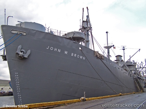
Find the position of the vessel John W Brown on the map. The latter are known coordinates and path.
marine traffic ship tracker show on live map
The current position of vessel John W Brown is 39.25940 lat / -76.55600 lng. Updated: 2025-10-24 11:25:03 UTCCurrently sailing under the flag of USA
Details:
Last coordinates of the vessel:
UTC, 39.25952, -76.55621, course: -1, speed: 0UTC, 39.25953, -76.55624, course: -1, speed: 0
UTC, 39.25947, -76.55609, course: -1, speed: 0
2025-10-24 11:25:03 UTC, 39.25940, -76.55600, course: -1, speed: 0