 vesseltracker.com
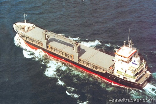
Find the position of the vessel Pera on the map. The latter are known coordinates and path.
marine traffic ship tracker show on live map
The current position of vessel Pera is 13.28375 lat / -59.65269 lng. Updated: 2025-10-24 17:21:25 UTCCurrently sailing under the flag of Antigua Barbuda
Pera built in 1995 year
Deadweight:
3600 tDetails:
Last coordinates of the vessel:
UTC, 13.10149, -59.63696, course: 129, speed: 0UTC, 13.10009, -59.63561, course: 37, speed: 0.2
UTC, 13.10354, -59.63949, course: 141, speed: 0.8
2025-10-24 17:21:25 UTC, 13.28375, -59.65269, course: 0, speed: 1.2