 vesseltracker.com
Find the position of the vessel Griftbor on the map. The latter are known coordinates and path.
marine traffic ship tracker show on live map
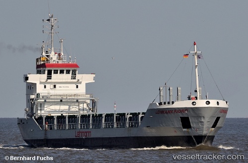
The current position of vessel Griftbor is 56.14985 lat / 10.22775 lng. Updated: 2025-11-12 23:23:04 UTCCurrently sailing under the flag of Antigua Barbuda
Griftbor built in 1995 year
Deadweight:
4149 tDetails:
Last coordinates of the vessel:
UTC, 56.14988, 10.22775, course: 42, speed: 0UTC, 56.14988, 10.22777, course: 42, speed: 0
UTC, 56.14988, 10.22775, course: 41, speed: 0
2025-11-12 23:23:04 UTC, 56.14985, 10.22775, course: 41, speed: 0