 vesseltracker.com
Live AIS position:
22.19233° N, 77.47846° W UTC. 40 nm N of PUERTO TARAFA),
updated 2025-11-21 02:35:25 UTC.
Find the position of the vessel REGULA on the map. The latter are known coordinates and path.
marine traffic ship tracker show on live map
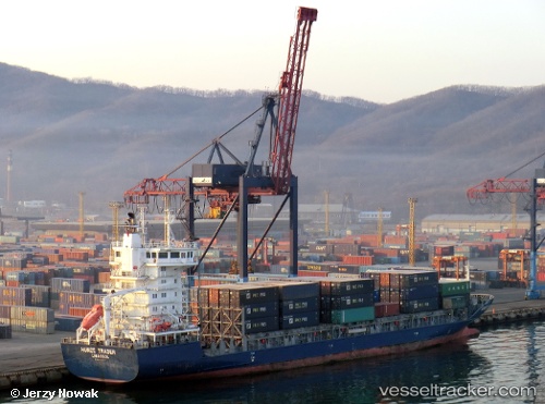
The current position of vessel REGULA is 22.19233 lat / -77.47846 lng. Updated: 2025-11-21 02:35:25 UTCCurrently sailing under the flag of Antigua and Barbuda
REGULA built in 2008 year
Deadweight:
8509 tDetails:
Last coordinates of the vessel:
UTC, 21.93082, -76.79620, course: 290, speed: 13.3UTC, 22.01525, -77.03889, course: 293, speed: 13.3
UTC, 22.11415, -77.30101, course: 290, speed: 13.6
2025-11-21 02:35:25 UTC, 22.19233, -77.47846, course: 312, speed: 13.2