 vesseltracker.com
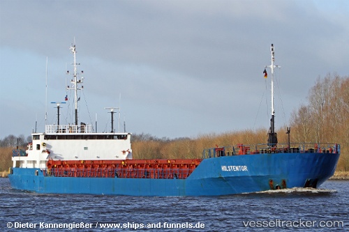
Find the position of the vessel Holstentor on the map. The latter are known coordinates and path.
marine traffic ship tracker show on live map
The current position of vessel Holstentor is 50.7072 lat / -1.98741 lng. Updated: 2025-09-02 14:32:42 UTCCurrently sailing under the flag of Antigua Barbuda
Holstentor built in 1989 year
Deadweight:
3432 tDetails:
Last coordinates of the vessel:
UTC, 50.7073, -1.98743, course: 91, speed: 0UTC, 50.7073, -1.98743, course: 91, speed: 0
UTC, 50.7067, -1.98667, course: -1, speed: 0
2025-09-02 14:32:42 UTC, 50.7072, -1.98741, course: 91, speed: 0