 vesseltracker.com
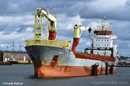
Find the position of the vessel Onego Bayou on the map. The latter are known coordinates and path.
marine traffic ship tracker show on live map
The current position of vessel Onego Bayou is 22.99667 lat / -82.75167 lng. Updated: 2025-10-08 03:05:09 UTCCurrently sailing under the flag of Antigua Barbuda
Onego Bayou built in 2007 year
Deadweight:
10758 tDetails:
Last coordinates of the vessel:
UTC, 22.99667, -82.75167, course: -1, speed: 0UTC, 22.99667, -82.75167, course: -1, speed: 0
UTC, 22.99667, -82.75167, course: -1, speed: 0
2025-10-08 03:05:09 UTC, 22.99667, -82.75167, course: -1, speed: 0