 vesseltracker.com
Live AIS position:
33.13214° N, 8.62202° W UTC. Near Jorf Lasfar),
updated 2025-11-21 05:22:36 UTC.
Find the position of the vessel OPTIMA on the map. The latter are known coordinates and path.
marine traffic ship tracker show on live map
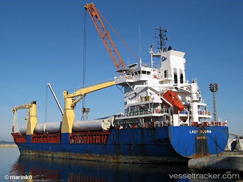
The current position of vessel OPTIMA is 33.13214 lat / -8.62202 lng. Updated: 2025-11-21 05:22:36 UTCCurrently sailing under the flag of Antigua and Barbuda
OPTIMA built in 2000 year
Deadweight:
8151 tDetails:
Last coordinates of the vessel:
UTC, 33.13213, -8.62201, course: 303, speed: 0UTC, 33.13212, -8.62203, course: 303, speed: 0
UTC, 33.13212, -8.62202, course: 303, speed: 0
2025-11-21 05:22:36 UTC, 33.13214, -8.62202, course: 303, speed: 0
The ship also appears on the maps: